 Max Participants :
12
Max Participants :
12
 Trail Type :
Starting and ending at the same point
Trail Type :
Starting and ending at the same point

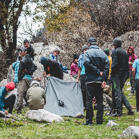
Itinerary Description
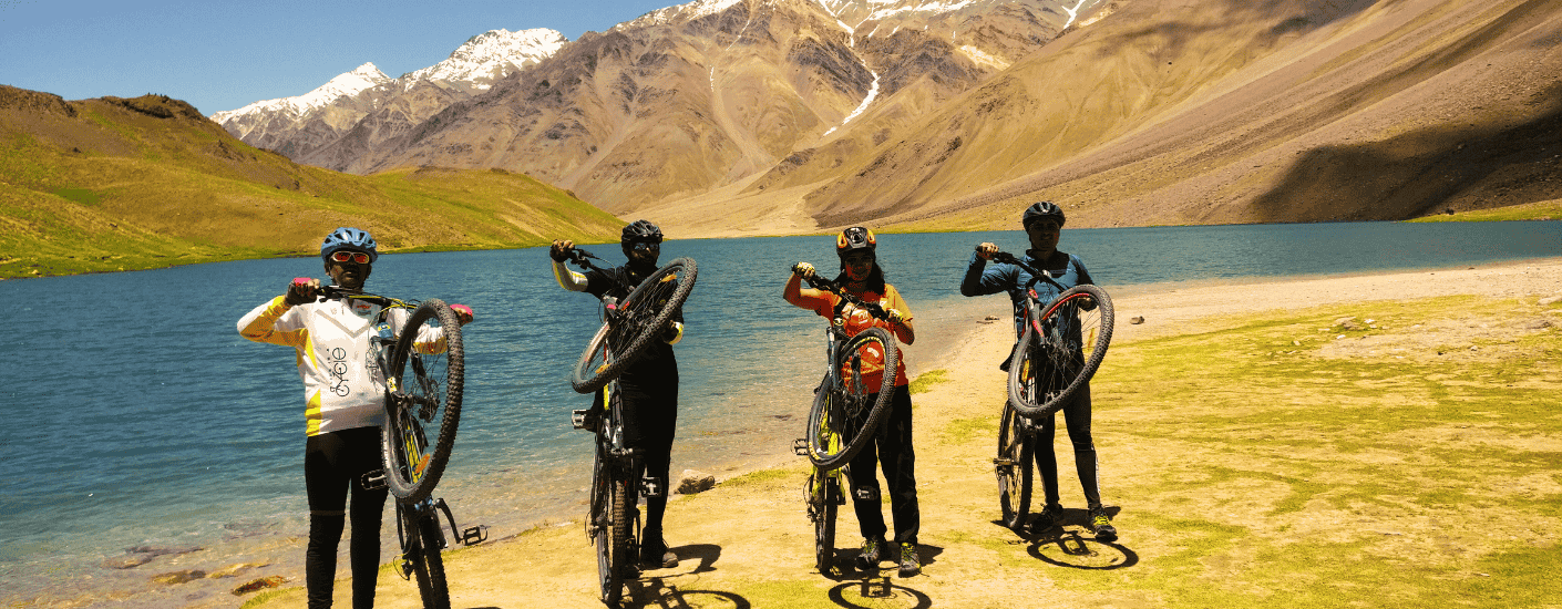
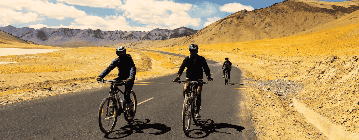
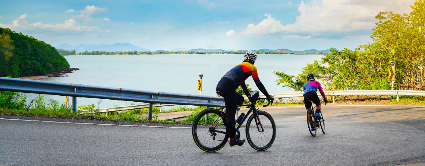
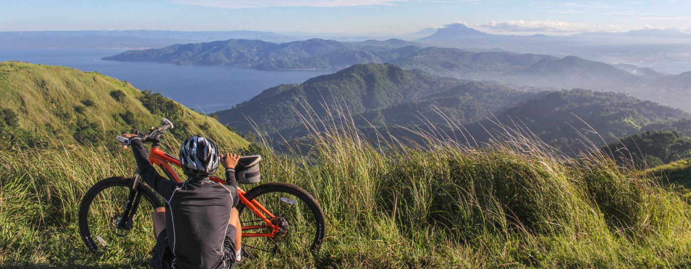
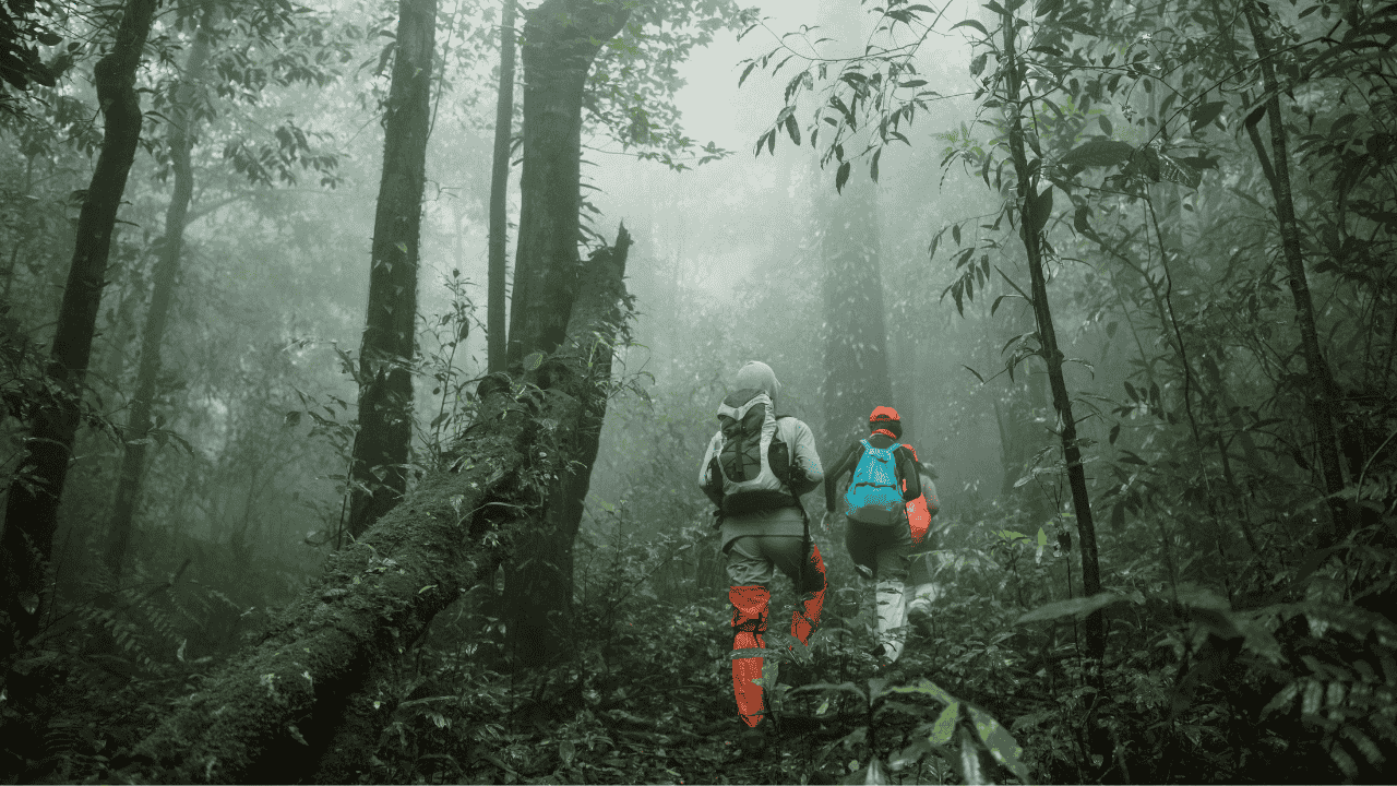
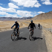
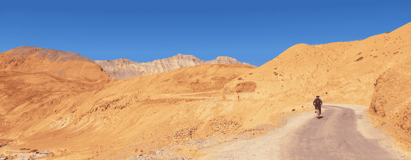
The Umling La Pass Cycling Expedition is an extreme adventure that takes cyclists to the world’s highest motorable road, Umling La Pass, situated at an altitude of 5,883 meters (19,300 feet) in Ladakh, India. This expedition is renowned for its challenging terrain, breathtaking Himalayan landscapes, and the unparalleled thrill of riding above the clouds
Important Points to Note:
Best Season: June to September, with peak conditions in July and August.
Permits: Inner Line Permits (ILP) are mandatory for all non-local travelers and must be arranged through registered agents in Leh before departure.
Acclimatization: This itinerary builds in critical acclimatization days at strategic points. Do not underestimate their importance - rushing this process invites serious altitude sickness.
Physical Preparation: This expedition demands excellent cardiovascular fitness and prior high-altitude cycling experience. Participants should complete at least six months of training including long-distance cycling at varying elevations and intense cardio workouts.
Medical Clearance: Mandatory medical clearance from a physician familiar with high-altitude medicine is required before participation.
Support Vehicle: A dedicated support vehicle accompanies the expedition throughout, carrying spares, medical supplies, extra water, and providing backup for any rider unable to continue.
Short Itinerary
Arrive in Leh (3500 mts)
Acclimatization & Local Exploration in Leh (3500 mts)
Leh (3500 mts) to Tirido (3750 mts) via Upshi (3610 mts) 95 km (5 to 6 hours)
Tirido (3750 mts) to Nyoma (4180 mts) via Chumathang (3950 mts) 95 km
(7 to 8 hours)
Nyoma (4180 mts) to Hanle (4500 mts) 75 km (7 to 8 hours)
Rest and Acclimatization explore local Hanle (4500 mts)
Hanle (4500 mts) to Chisumle via Nurbu La (Pass) (5310 mts) 75 km (7 to 8 hours)
Chisumle to Umling La Pass (5883 mts) to Hanle (4500 mts) 50 km (9 to 10 hours)
Drive from Hanle (4500 mts) to Leh (3500 mts) 311 km (7 to 8 hours)
Departure from Leh
Detailed Itinerary
Day 1
Arrive in Leh (3500 mts)
Your expedition begins as you step off the aircraft at Kushok Bakula Rimpochee Airport, where the thin, crisp air immediately reminds you that you've arrived in one of the world's highest inhabited places. The drive to your hotel reveals Leh in its full Himalayan splendor - the massive Leh Palace crowning the hilltop, the Stok Kangri range gleaming in the distance, and the distinctive whitewashed stupas dotting the landscape.
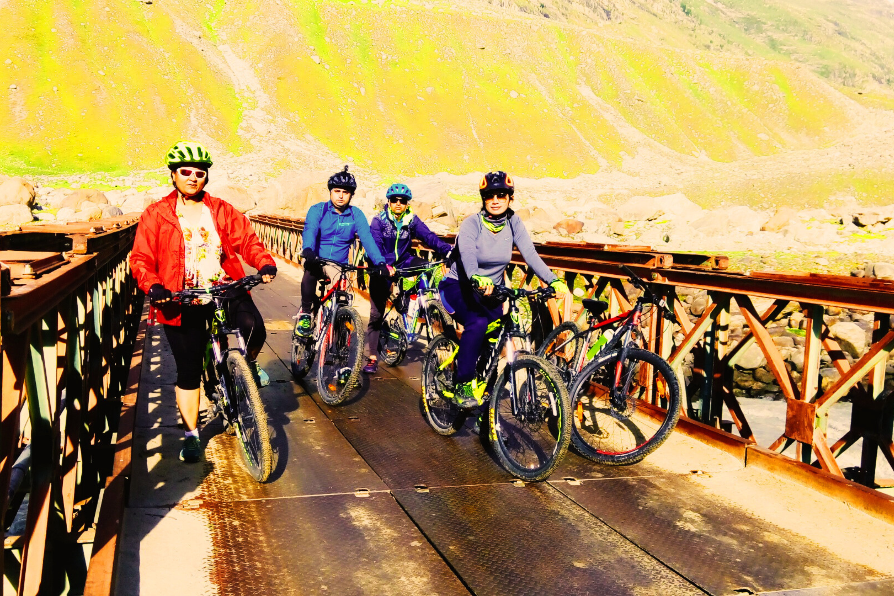
The entire day is dedicated to the most critical aspect of high-altitude cycling: rest and acclimatization. You'll be greeted with a detailed expedition briefing covering altitude management, daily ride profiles, safety protocols, and bike checks. Your expedition leader explains the "climb high, sleep low" philosophy and emphasizes the importance of hydration despite the lack of thirst at altitude. The afternoon is spent organizing your gear, ensuring your bike is properly assembled, and taking a gentle stroll around the hotel premises - no exertion beyond what is absolutely necessary. As darkness falls, you retire early, understanding that the days ahead will demand every ounce of your energy and determination.
Day 2
Acclimatization & Local Exploration in Leh (3500 mts)
A full day in Leh allows your body to continue its adaptation to the thin air while gently testing your cycling legs on flat terrain. The morning begins with a short, easy ride through the peaceful lanes of Leh, allowing you to assess how your body responds to mild exertion at 3,500 meters.
The exploration takes you to Leh's cultural treasures, each stop carefully paced to avoid fatigue. At Shanti Stupa, the white-domed Buddhist monument offers panoramic views of the Leh Valley and the distant Stok range - a perfect introduction to the landscapes awaiting you. The 17th-century Leh Palace, though approached via a gentle incline, provides insight into Ladakh's royal history and offers spectacular photo opportunities. The afternoon includes visits to the Hall of Fame museum, honoring the Indian Army's sacrifices, and the Magnetic Hill phenomenon, where vehicles appear to defy gravity on a downhill slope. The day concludes with a comprehensive bike check: brakes, gears, tire pressure, and chain lubrication - ensuring your machine is as prepared for the challenge as you are. An early dinner of easily digestible local cuisine precedes another early night, your body greedily absorbing every hour of rest.
Day 3
Leh (3500 mts) to Tirido (3750 mts) via Upshi (3610 mts) 95 km (5 to 6 hours)
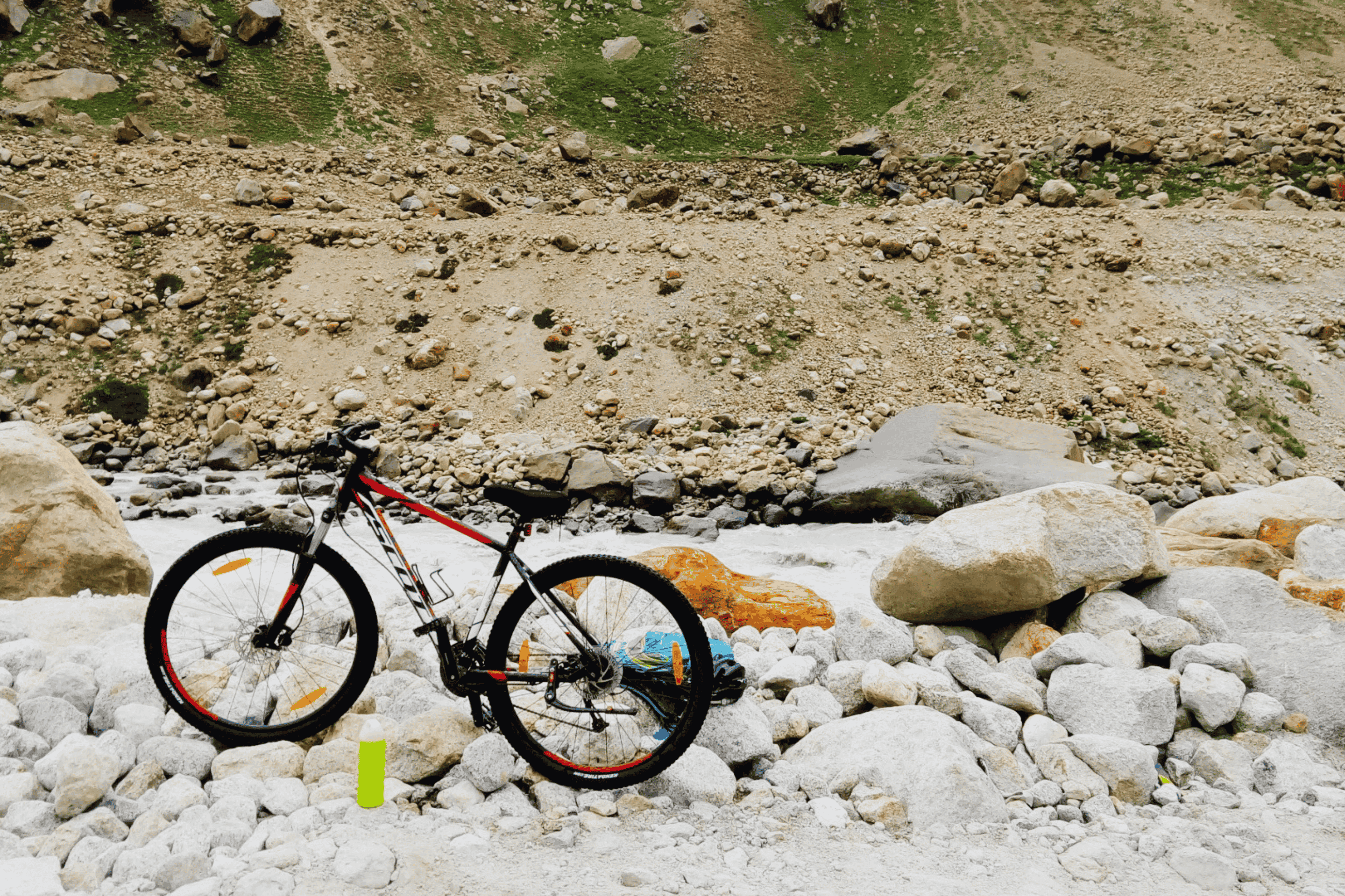
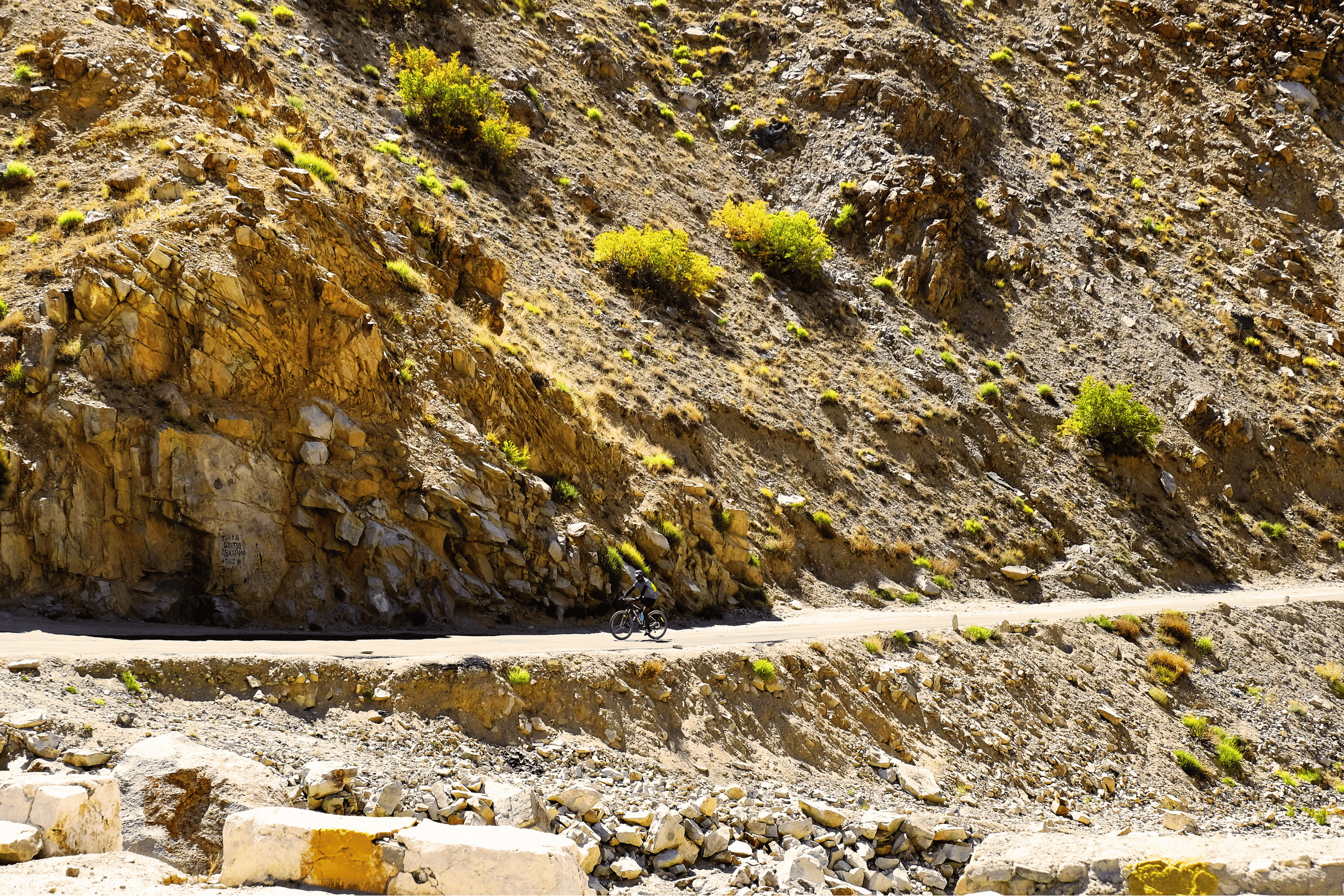
The expedition proper commences with an early morning departure from Leh, following the Indus River eastward on the Manali-Leh Highway. The initial stretch offers relatively gentle gradients, allowing your legs to find their rhythm while the stunning landscapes unfold - the wide river valley flanked by rugged mountains painted in shades of ochre and brown.
At Upshi (3,610 m), approximately halfway through today's ride, you pause for a well-earned lunch break. This small settlement marks the turn-off from the main highway toward the remote eastern regions. The afternoon's ride continues along the Indus, with the valley gradually narrowing and the terrain becoming increasingly dramatic. The road surface varies between smooth tarmac and occasional rough patches, providing your first taste of the varied conditions ahead. Tirido, your overnight stop, is a modest settlement offering basic guesthouse accommodation. As you settle in for the evening, the expedition leader conducts a thorough briefing on tomorrow's ride, emphasizing the increasing altitude and the importance of maintaining hydration and energy levels. The night sky here, far from any light pollution, offers a breathtaking preview of the celestial wonders awaiting you at higher elevations.
Day 4
Tirido (3750 mts) to Nyoma (4180 mts) via Chumathang (3950 mts) 95 km
(7 to 8 hours)
Today's ride takes you deeper into the remote Changthang region, following the Indus River as it winds through increasingly stark and beautiful terrain. The morning begins with a steady climb, your body gradually warming to the task while the landscapes grow more dramatic with each kilometer.
The highlight of the day arrives at Chumathang (3,950 m), famous for its natural hot springs. Here, you pause not just for rest but for a therapeutic soak - the mineral-rich waters offering profound relief to cycling-tired muscles and preparing your body for the challenges ahead. The springs bubble up from the earth at temperatures reaching 50°C, creating steam clouds that rise against the cold mountain air. After this rejuvenating break, the ride continues toward Nyoma, the administrative center of this remote region. The final approach reveals the characteristic Changthangi landscape: wide, open valleys dotted with grazing yaks and the distinctive black tents of nomadic herders. Nyoma offers basic guesthouse accommodation where you'll rest and refuel, the expedition team checking everyone's oxygen saturation levels and ensuring proper acclimatization before tomorrow's critical stage.
Day 5
Nyoma (4180 mts) to Hanle (4500 mts) 75 km (7 to 8 hours)
This relatively shorter distance belies the day's challenges - the altitude steadily increases as you pedal toward one of Ladakh's most isolated and fascinating settlements. The route follows the Indus River through the Loma Valley, with the landscape becoming increasingly lunar in its stark beauty. Barren mountains in shades of rust and gray rise on either side, their slopes occasionally dotted with herds of kiang (Tibetan wild ass) grazing on sparse vegetation.
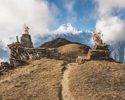
Hanle appears like a mirage after hours of riding through this remote wilderness - a cluster of whitewashed houses dominated by the gleaming domes of the Indian Astronomical Observatory, one of the world's highest observatories. The village sits at 4,500 meters in a wide, flat valley surrounded by peaks that seem to touch the sky. Upon arrival, you check into a local homestay or guesthouse, immediately noticing how the thin air makes even simple movements require conscious effort. The Hanle Monastery, perched on a hilltop overlooking the village, offers a spiritual anchor to this isolated community. As evening falls, the legendary Hanle darkness descends - this is India's first Dark Sky Reserve, where light pollution is strictly controlled to preserve the astronomical quality. The night sky here defies description: the Milky Way appears as a brilliant river of stars, with shooting stars streaking across the darkness so frequently you lose count. Standing still at this altitude requires careful pacing.
Day 6
Rest and Acclimatization explore local Hanle (4500 mts)
This strategically placed rest day is perhaps the most important of your entire expedition. At 4,500 meters, your body needs time to produce additional red blood cells and adapt to the extreme altitude before attempting the world's highest motorable pass. The day is structured around gentle activity- nothing that raises your heart rate significantly, but enough to keep your body engaged.
The morning includes a slow, carefully paced walk to the Hanle Monastery, one of the oldest and most isolated in Ladakh. The monastery's collection of ancient thangkas and manuscripts offers a window into Buddhist culture that has survived here for centuries. After a lunch of easily digestible local cuisine, you may visit the Indian Astronomical Observatory's visitor center, learning about the research conducted under these uniquely clear skies. The expedition team conducts thorough health checks throughout the day, monitoring oxygen saturation and heart rates to ensure everyone is acclimatizing properly. The evening features an important briefing about tomorrow's critical ride to Chisumle, including detailed discussions of the route, potential challenges, and the early morning start time. As darkness falls, you're encouraged to rest early, the excitement of the approaching challenge tempered by the knowledge that the hardest days still lie ahead.
Day 7
Hanle (4500 mts) to Chisumle via Nurbu La (Pass) (5310 mts) 75 km (7 to 8 hours)
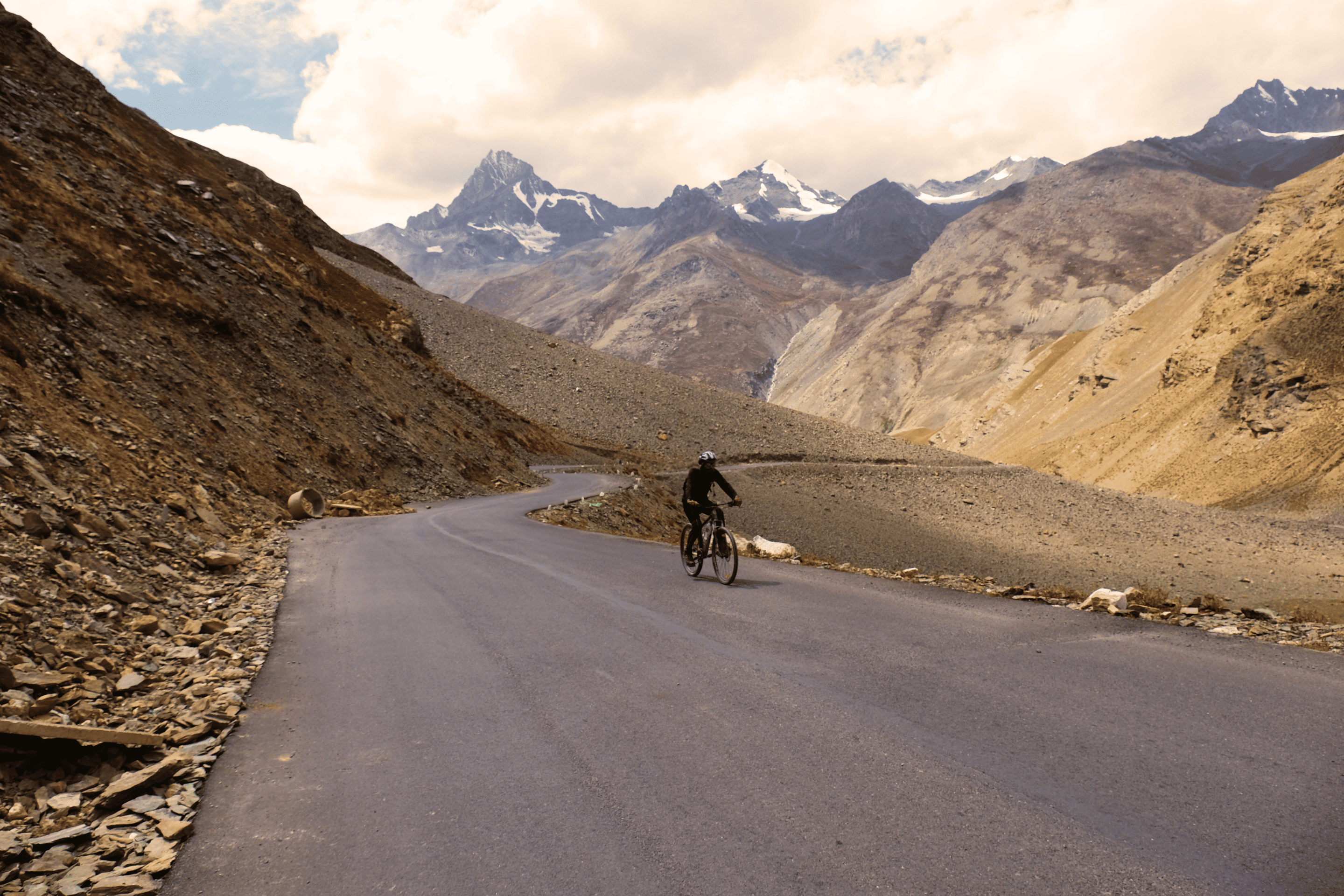
Today's ride represents a significant challenge - not just in distance but in the sustained altitude and the crossing of Nurbu La at 5,310 meters. An early start is essential, as afternoon winds can make progress difficult and weather can deteriorate quickly at these elevations.
The route initially follows a wide valley south from Hanle, the landscape gradually transforming as you gain elevation. The climbing begins in earnest after approximately 15 kilometers, with the road switching back and forth as it approaches Nurbu La. The pass itself offers breathtaking 360-degree views of the surrounding peaks, including glimpses of the mountains that form the border with Tibet. At 5,310 meters, even the simple act of dismounting for photos requires conscious breathing, the air providing barely half the oxygen available at sea level. The descent from Nurbu La is gradual but continuous, leading into a valley that feels utterly removed from civilization. Chisumle, when it finally appears, is less a village than a cluster of structures in a high-altitude basin - a temporary camp established for travelers attempting Umling La. Tonight's accommodation is in expedition tents, carefully set up with high-quality sleeping bags rated for extreme cold. The evening briefing focuses entirely on tomorrow's summit attempt: the early start time, the riding strategy for extreme altitude, the signs of altitude sickness to watch for, and the absolute necessity of turning back if any team member shows symptoms. The temperature plummets after sunset, and you retreat to your tent by 7 PM, knowing that 3 AM will arrive all too soon.
Day 8
Chisumle to Umling La Pass (5883 mts) to Hanle (4500 mts) 50 km (9 to 10 hours)
03:00: Wake-up call in the freezing darkness. Headlamps illuminate the camp as you dress in multiple layers, drink warm fluids, and prepare for the most challenging ride of your life.
04:30: Departure by first light. The initial kilometers from Chisumle are rideable but demanding, the road gradually ascending toward the invisible summit. The terrain becomes increasingly lunar - barren, rocky, utterly devoid of vegetation. The silence is absolute, broken only by the sound of your breathing and the crunch of tires on the gravel road.
06:30: The final approach. As you near 5,500 meters, the gradient steepens and the air thins dramatically. At this altitude, even the simplest movements require conscious effort. Some team members may choose to push their bikes rather than ride, conserving energy for the final push. The expedition leader constantly monitors everyone's condition, checking for signs of altitude sickness: headaches, nausea, dizziness.
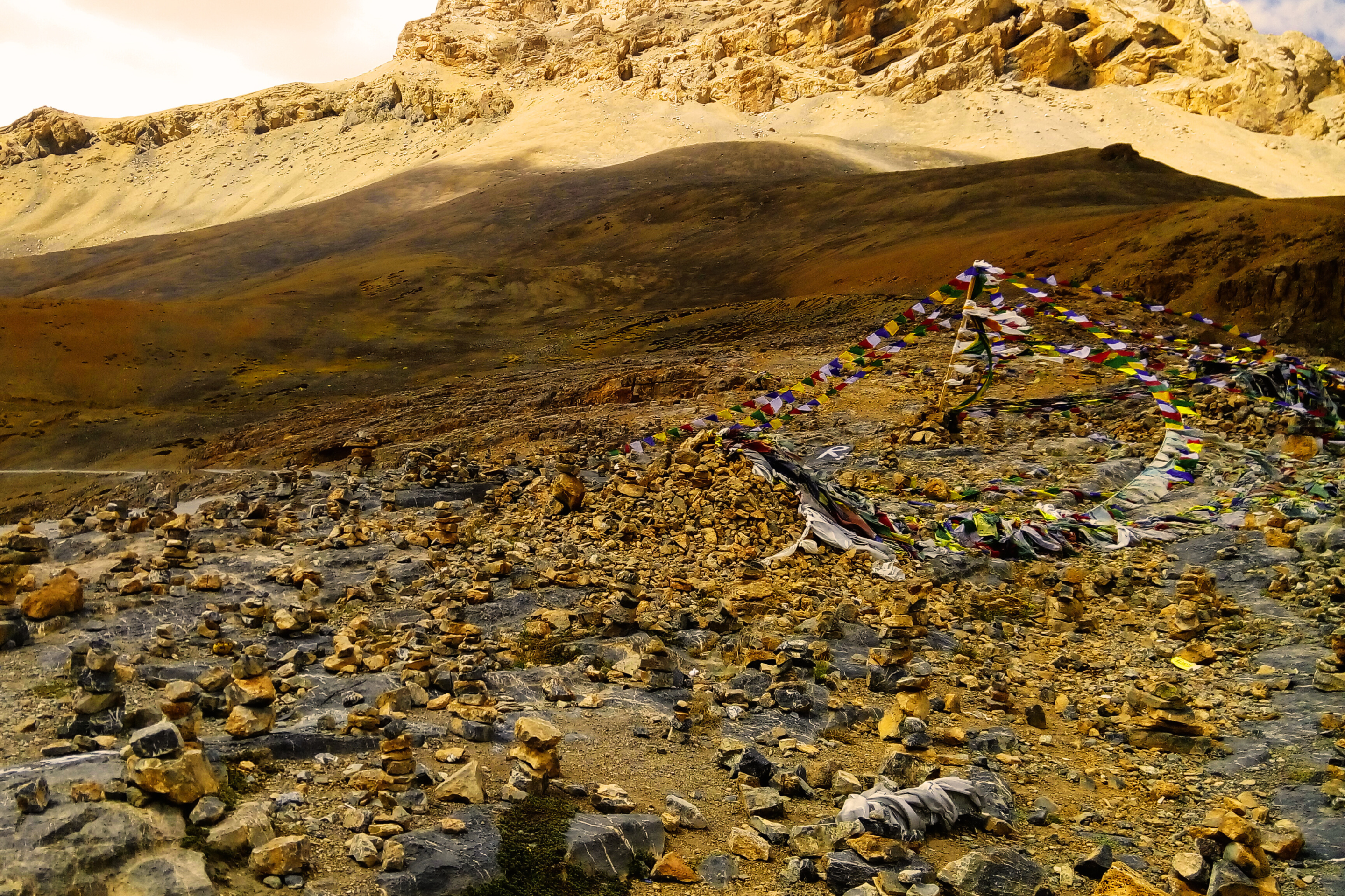
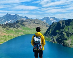
08:00: Summit arrival - The moment you crest the final rise and see the signboard marking Umling La at 5,883 meters (19,300 feet), an overwhelming sense of achievement floods through you despite the physical exhaustion. You are standing on the highest motorable road in the world - higher than Everest Base Camp, higher than any point accessible by wheeled vehicle anywhere on Earth. The panoramic view stretches across the entire eastern Ladakh range, with peaks extending into Tibet and the vast emptiness of the Changthang plateau spreading below. The famous signboard becomes the focus of celebration photos, each team member taking turns to document their achievement. But at this altitude, you cannot linger - the body cannot sustain this elevation indefinitely, and the descent must begin.
09:00: Begin descent - The return to Chisumle is dramatically faster than the ascent, but requires intense concentration as the cold wind numbs your fingers and the rough road demands careful navigation. Support vehicles remain nearby, ready to assist if anyone becomes too cold or exhausted to continue.
11:00: Arrival back at Chisumle camp - Hot drinks and a warm meal await, your body slowly recovering from the extreme demands of the morning. The expedition team conducts health checks on everyone, ensuring no lingering effects of altitude exposure.
13:00: Board vehicles for the return to Hanle - The drive back follows a different route, allowing you to see the landscape from a new perspective while your exhausted body recovers in the heated vehicle.
16:00: Arrival in Hanle. The relative "thickness" of the air at 4,500 meters feels almost luxurious after the summit altitude. A celebratory dinner brings the expedition team together, each person sharing their personal summit experience while the stars begin to emerge over the observatory domes. The sense of collective achievement is palpable - you have done something that fewer than a thousand people have ever accomplished.
Day 9
Drive from Hanle (4500 mts) to Leh (3500 mts) 311 km (7 to 8 hours)
The final day of your expedition is dedicated to the long but scenic drive back to Leh, allowing your body to recover while your mind processes the magnitude of what you've accomplished. The route retraces much of your inbound journey but offers new perspectives in the different light of day.
The drive passes through Nyoma, where you can reflect on how far you've come since cycling through this town just days ago. At Chumathang, a final stop at the hot springs offers one last therapeutic soak - your muscles greedily absorbing the warmth after the extreme demands of Umling La. The drive continues through Upshi and along the Indus Valley, the landscape gradually transitioning from the stark high-altitude desert of Changthang to the slightly more vegetated surroundings of central Ladakh.
Arrival in Leh by late afternoon marks the official conclusion of your expedition. A final celebratory dinner brings the team together one last time, with certificates of achievement distributed and contact information exchanged among newfound friends who have shared an experience that will bond you for life. The evening is spent recounting summit stories, comparing photographs, and simply basking in the satisfaction of having pedaled to the top of the world.
Day 10
Departure from Leh
Your expedition concludes with airport transfers as per your flight schedule. As you board your flight and watch the Himalayas recede through the aircraft window, you carry with you not just photographs and certificates, but the profound knowledge that you have pushed your body and spirit to their limits and emerged triumphant. Umling La will remain forever etched in your memory - not just as a place on a map, but as a personal milestone representing the highest point you've ever reached, in more ways than one.
WHAT'S INCLUDED
- ●Meals during the expedition (Day 3 Lunch till Day 9 Breakfast)
- ●Entry Fess, Camping Charge (Upto the amount charged for Indian nationals)
- ●Hotel stay Leh 2 Night on double or triple sharing basis
- ●One Support vehicle per 6 Participants
- ●Separate Camping Vehicle minimum group of 6 participants
- ●First aid medical support and oxygen cylinder
- ●Experience support team cook, helpers
- ●One bag up to 80 liters by Participants to be accommodated in the support vehicle. Avoid trolley bags.
WHAT'S NOT INCLUDED
- ●Bicycle/MTB Rent
- ●Meals during hotels stay in Leh
- ●Any Expense of personal nature.
- ●Cost of any kind of Insurance. Since insurance is mandatory, kindly get yourself insured from our partners ASC360 through www.asc360.com
- ●Permit fee
- ●Anything not specifically mentioned in inclusions
Are you eligible for this adventure?
Annapurna Base Camp Trek takes you to a height of 4,130M and is rated a moderate level trek for its long trekking distances. For its elevation and distances, it is recommended for trekkers with some prior experience in the high-altitudes.
Grade
Difficult
Max Altitude
5883 mts
Distance
390 km
WMRS Level Required

Terrain

Prerequisite Skills

Fitness Benchmark
WMRS Level Required
WMRS 5
Annapurna Base Camp Trek is a level 4 adventure on the Bikat Rating Scale.
This makes it mandatory for you to have high-altitude experience of preferably multiple treks marked at level 3 on the WMRS. The altitude, the terrain, and the nature of the climb demand a certain level of endurance and a need for you to be aware of how your body reacts to the various features of the high-altitude environment.
If you do not know what level of WMRS trek would suit you best, worry not! Fill out this Form:
We will send you a progression chart to help you comfortably get out of your comfort zone in order to level up and ultimately reach your highest potential in the big, bad world of outdoor adventure.
Frequently Asked Questions
Packing List
This is a list of essential items for individuals going on a trek with Wanderin’ Man Adventures. This list contains only those items which the participants are required to bring with them. The list excludes those items which are provided by Wanderin’ Man Adventures on the trek. We have divided the items into five categories. All the items in the list are essential except for those marked as optional.
🟩 Trekking Gear
- Rucksack bag with rain cover
- Day Pack Bag - Recommended for treks with summit day
- Head Torch with spare Batteries
- UV protection sunglasses
- Water Bottles - 2 bottles of 1 liter each
🟩 Footwear
- Non-skid, deep tread, high-ankle trekking shoes - 1
- Pair of light weight Slipper/Sandals for the campsite - 1
🟩 Clothing
- Quick Dry Warm lower or Track Pants - 2
- Full sleeves T-shirts/Sweatshirts (1 for every 2 days of trekking)
- Pair of thick woolen socks (1 pair for every two days of trekking)
- Thermal Body warmer Upper & Lower - 1
- Undergarments (1 for each day of the itinerary)
- Warm jacket closed at wrist & neck - 1
- Full sleeves sweater - 1
- Rain wear (Jacket & Pants) - 1
- Pair of water-proof, warm gloves - 1
- Woolen cap - 1
- Sun shielding Hat - 1
- Multipurpose Buff - 2
🟩 Toiletries
- Personal toiletries kit (Small Towel, Toilet paper, paper soap, Bar soap, toothbrush, toothpaste, cold cream, etc.)
- Sun screen lotion small pack (SPF 30 & Above) - 1
- Lip Balm small pack - 1
🟩 Utensils
- Small size, Lightweight & Leak proof lunch box - 1
- Plate - 1
- Spoon - 1
- Tea/Coffee (plastic) Mug - 1
🟩 Miscellaneous
- Camera (Optional)
- Carry your medicines in plenty in case you have any specific ailment. Consult your doctor before joining the trek.
- Dry fruits, Nuts, Chocolate bars (Optional)
Note-
- For long treks, please carry a spare sunglasses.
- For winter trek please try to carry a thermal water bottle.
- For long winter treks, please carry an extra pair of warm pants.
Why Wanderin' Man?
(SET- Safety, Expertise & Trust )

Safety
- ●Small Group Size in the ratio of 6:1 (participant to leader)
- ●No compromise on safety and sustainability promise
- ●Experienced and Certified Mountaineering Professional Leaders
- ●Region Mapped with Emergency Evacuation Plan
- ●Certified Standard Equipment by UIAA (International Climbing and Mountaineering Federation certification) & other Similar Bodies
- ●Minimized Risk Management Standard Operating Procedure are applied for every Trek and tour
- ●Certified First Aid Support and Doctors* with constant availability of Safety Equipments like Medical Kit, Rescue Kit
- ●Constant communication is aided with the help of Communication Devices
- ●Certified and registered Transporter for transportation purpose

Expertise
- ●Founders of the company have extensive experience of 15 years having organized approx 2000+ trekking, Expeditions and other adventure activities.
- ●Wanderin’ Man Adventures operating expeditions above 8000 mts.
- ●Under the umbrella of Wanderin’ Man Adventures 15 + adventure activities Programs have been organized
- ●Founders have mountaineering certifications from the esteemed mountaineering institutes of India.
- ●Team is composed of experienced mountaineers and trek leaders with thorough understanding of norms and procedures.

Trust
- ●Trust has been the hallmark of our company since its inception be it any program on the list.
- ●Special emphasis is laid on the use of standard procedures and equipments as per the mountaineering norms
- ●95% of our clients have availed our service on repeat basis.
- ●Our business has expanded primarily based on the “word of mouth” from our existing clients to new ones
What Our Customers Say


Cancellation Policy
Cash Refund (All events including Friendship Peak Expedition except other Mountaineering Expeditions) - Cash refunds are only available for bookings made without any discounts, such as promotional codes or dynamic discounts. Additionally, cash refunds are not available for shifted batch bookings or if the booking status is "Booked". Add-ons are non-refundable. The amount of the refund will be determined based on the following guidelines:
Cancellations made up to 45 days before the departure date
Cancellations made up to 31 days before the departure date
Cancellations made between 30 and 21 days before the departure date
Cancellations made between 20 and 11 days before the departure date
Cancellations made less than 11 days before the departure date are not eligible for a cash refund.
Voucher Refund Policy
Voucher Refund: This option is available for all types of bookings including the bookings made under promotional offers. The Wanderin' Man Adventures would offer you a short-term voucher that would enable you with a flexibility to book any other Wanderin' Man Adventures event using the voucher.
The option of claiming a voucher is available till 7 days prior to the departure of the event. The refund of the amount would be processed as per deduction guidelines outlined below:
The amount for refund processing would always be calculated basis the net amount paid* for booking the event with respect to the Base Price of the event (excluding additional components like transport, rent, portage, etc.).
Please note that the voucher issued would not include the service tax amount paid while making the booking. However, when you use the voucher to book again on our website, service tax would not be applicable on the voucher amount.
Validity of the voucher would be 24 months from the date of issue.
*Net Amount Paid would be the amount paid to Wanderin' Man Adventures at the time of booking after adjusting for all rebates provided by applying vouchers.
Similar Adventures
Khopra Ridge Trek
Less popular, less crowded, more beautiful alternative to ABC
- Nepal
- 10 Days
- BRS 4
- 4767 m
Tarsar Marsar Trek
A Shorter and Easier Alternative to the Kashmir Great Lakes Trek
- Kashmir
- 7 Days
- BRS 4
- 4024 m

Hampta Pass Trek
An Enchanting Cross-Over from Manali to Spiti
- Himachal
- 5 Days
- BRS 4
- 4200 m
Related Itinerarys