 Max Participants :
8
Max Participants :
8
 Trail Type :
Starting and ending at the same point
Trail Type :
Starting and ending at the same point

Itinerary Description
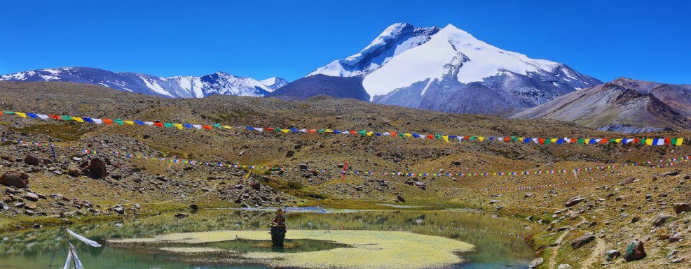
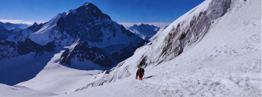
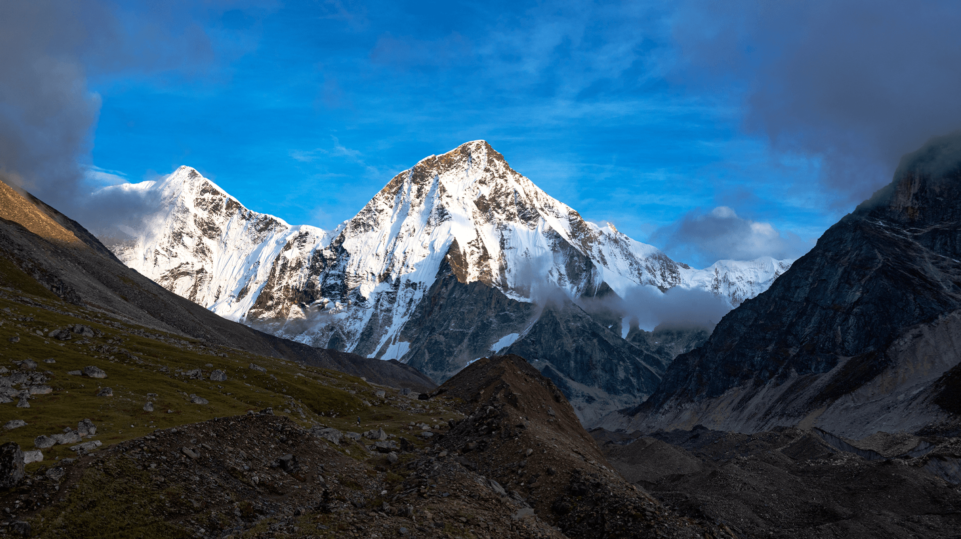
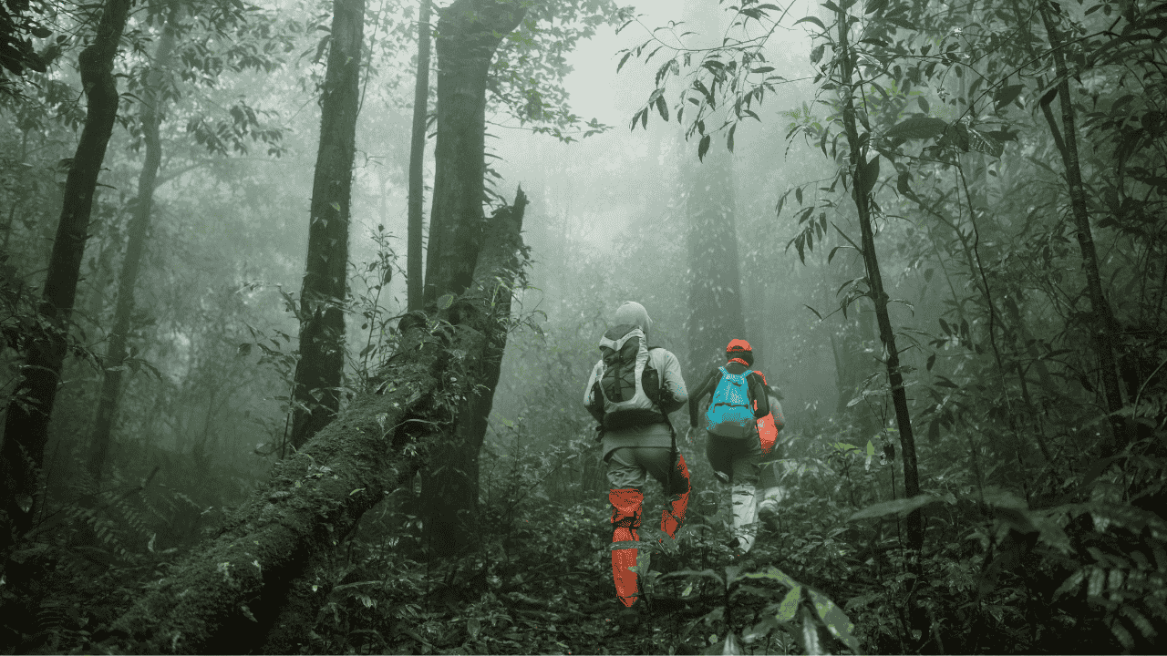
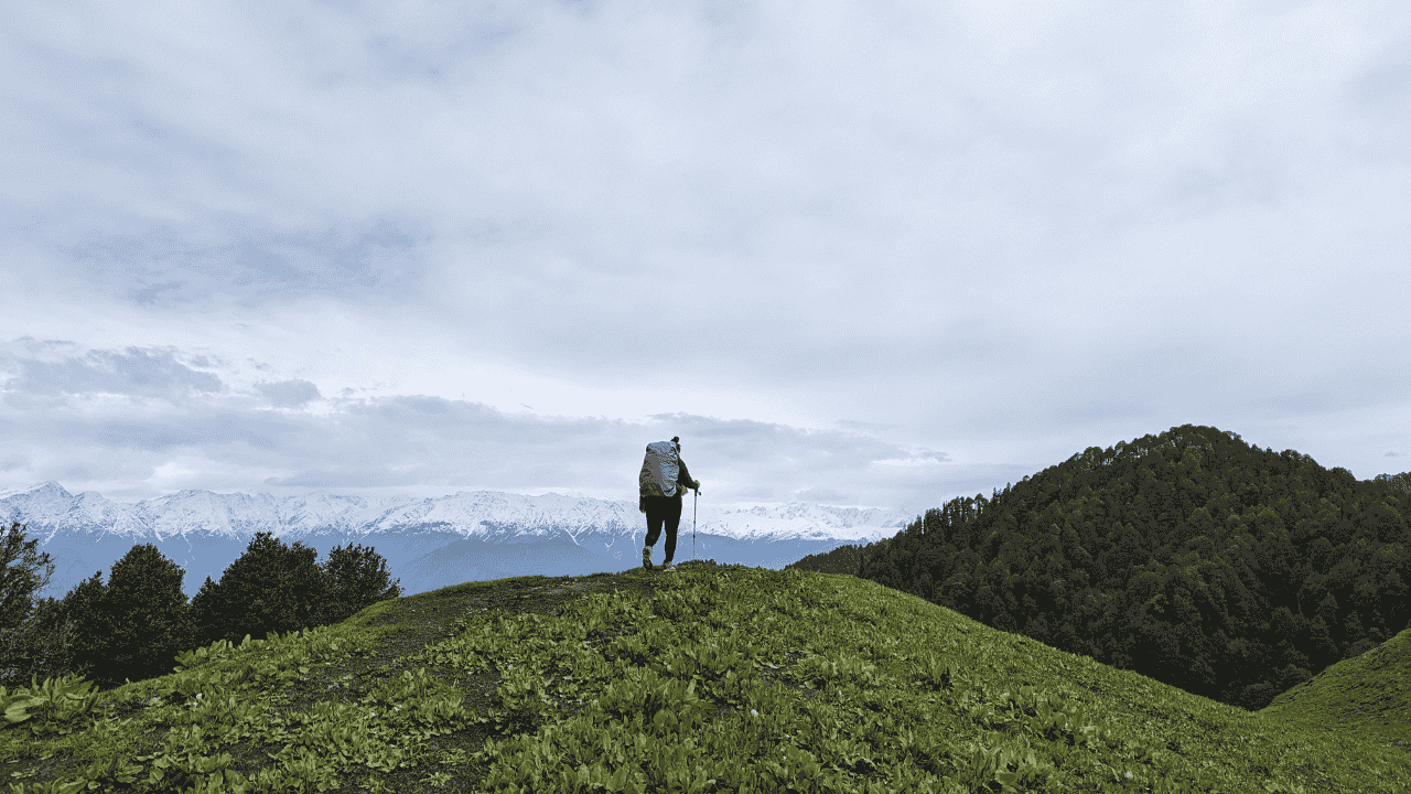
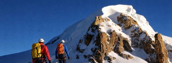
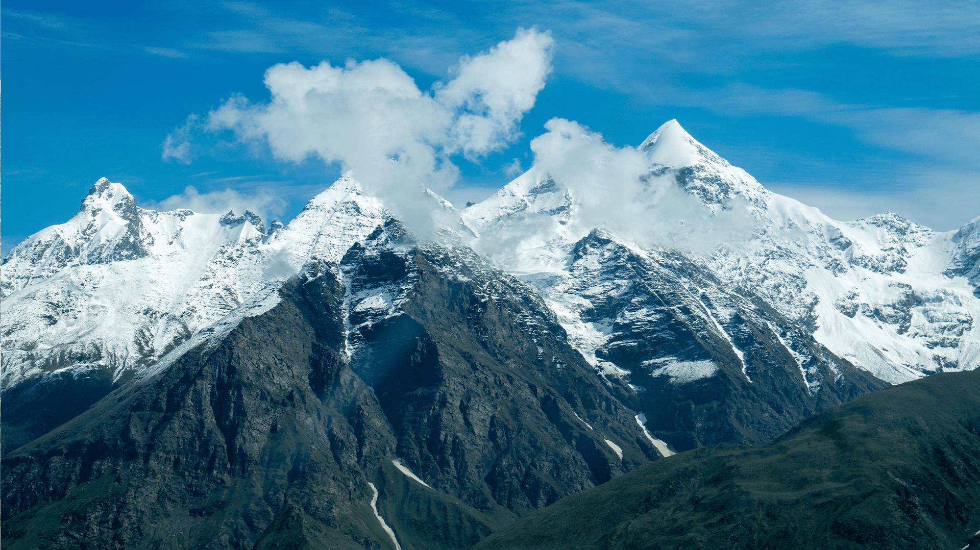
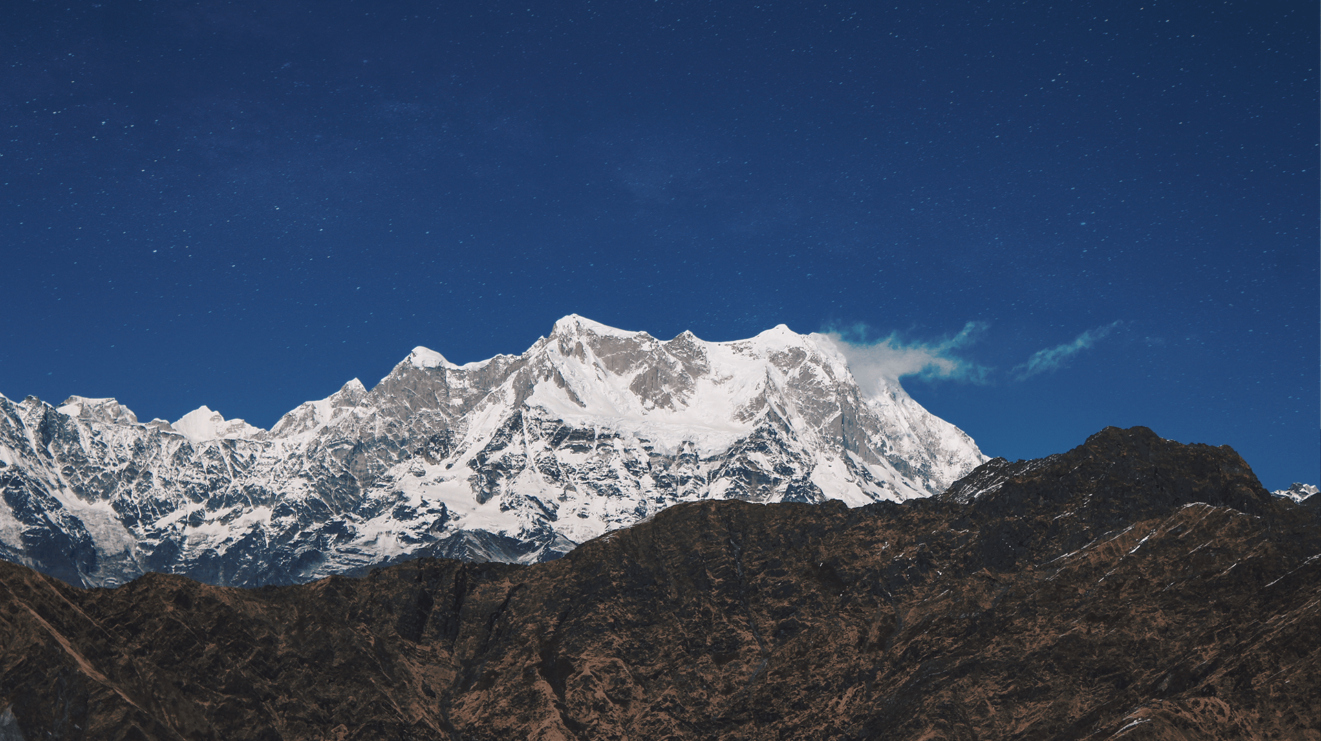
Introduction Located in the region of western Himalayas is the mountain mass of Bandarpoonch. It is composed of 3 peaks- Bandarpoonch 1 (6316M), Bandarpoonch 2 (6102M) & Black Peak (also known as kala Nag) (6387M). This massif is located in the Garhwal region of Uttarakhand. Locally it is known as ?Hanuman?s tail?. This peak presents an ideal location for the people preparing for the expedition of 7000M or more. Due to certain technical complexities, it is expected from the expeditionist to have prior experience of trekking, use of mountaineering techniques and handling of technical equipment. This peak presents a challenging terrain due to the unpredictable weather and route complexity; it makes it necessary for the climbers to get acclimatized to the conditions of the massif. The Bandarpoonch expedition tales you to the scenic site where you can catch the sight of peaks like Kalanag, Swargrohini, Satopanth and Sudarshan Parvat etc. This area is also the source of Yamuna River. For this summit the prescribed way is through the south eastern region. This summit is going to pose challenge for those who dare to push their limits. Best Time The best time to scale the summit is during the month of May- June and September- October. During this time the summit provides the best route which could be difficult to scale during the other months due to excessive weather conditions. The summit presents a moderate level of difficulty due to the boulders and steep slopes. Thus, it is necessary to acclimatize properly to with stand the unpredictable conditions.


Short Itinerary
Detailed Itinerary
Day 1
Day 0: Arrival in DelhiDay 2
Day 1: Dehradun ? UttarkashiDay 3
Day 2: Uttarkashi ? SukhiDay 4
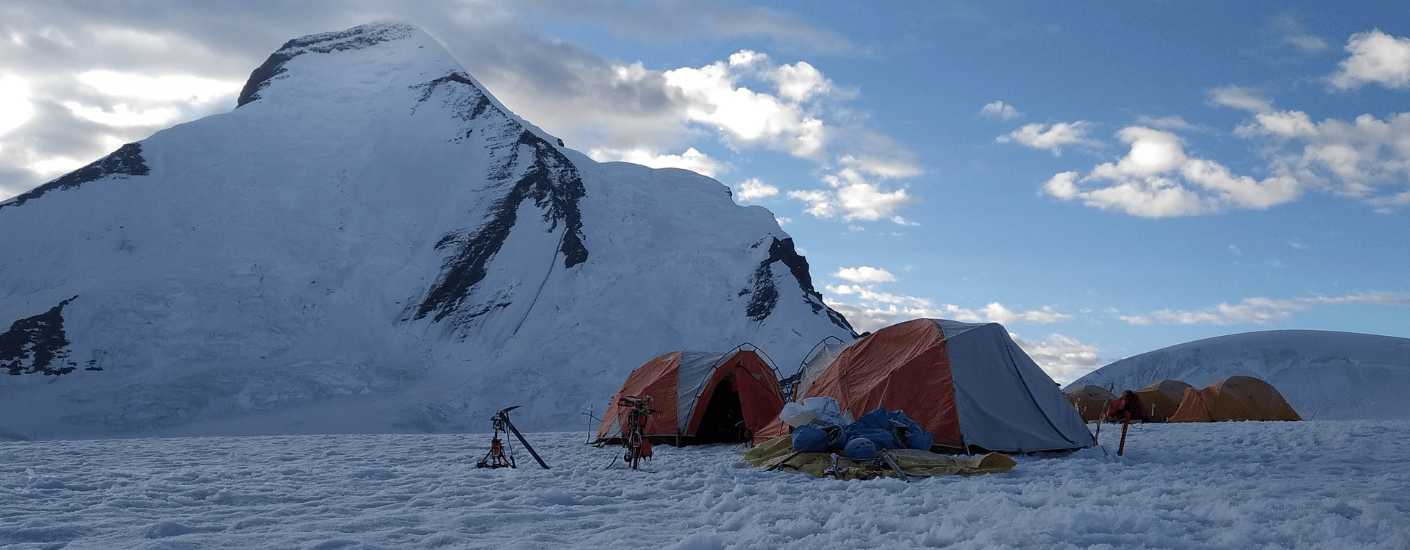
Day 3: Trek to Base CampDay 5
Day 4: Acclimatization at base campDay 6
Day 5: Base camp to Camp 1 and Return to Base CampDay 7
Day 6: Rest Day at Base CampDay 8
Day 7: Return to camp 1Day 9
Day 8: Rest at camp 1Day 10
Day 9: Acclimatization at camp 1Day 11
Day 10: Camp 1 to Summit CampDay 12
Day 11: Rest Day at Summit CampDay 13
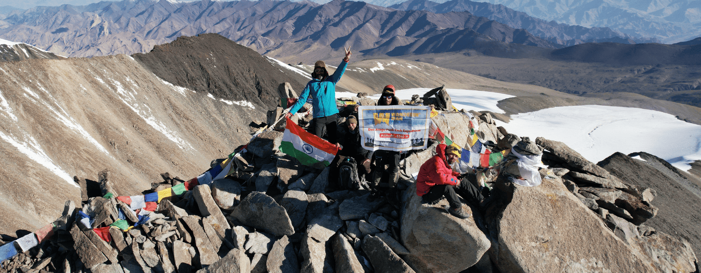
Day 12: Summit DayDay 14
Day 13: Contingency DayDay 15
Day 14: Summit to Base CampDay 16
Day 15: Base Camp to Forest campDay 17
Day 16: Forest camp to SukhiDay 18
Day 17: Sukhi to UttarkashiWHAT'S INCLUDED
- ●All accommodations on the trek will be on twin sharing basis in Tents or a budget hotel.
- ●A certified Expedition Leader and a professional guide, will be on your expedition course. The team has experience and expertise for any emergency situation.
- ●A team of an experienced Cook, Camp Staff, Porters/Mules will accompany you for all the arrangements on the Expedition.
- ●All Meals on the Trek will be cooked by our high-altitude chefs.
- ●All the camping equipment will be provided by the company on site.
- ●Safety Equipment including medical kit, Oxygen Cylinder, Oximeter, Crampons, Gaiters, Ropes and other equipment will be provided by us. It is advisable to bring your own sleeping bags if possible.
- ●Only for Indian Clients, All the applicable trekking permits, Camping Charges, Forest Entry Fee, etc. will be paid by us. Foreigners have to pay these charges if not mentioned. IMF fee and Liaison officer included.
- ●This experience will be one such that you will cherish it for the long time and remember it always.
WHAT'S NOT INCLUDED
- ●The goods and services tax are not included in the price mentioned with the
- ●Your Rucksack, personal clothing, shoes, trek poles, and other personal trek
- ●Cost of any kind of Insurance. Since insurance is mandatory, kindly get yourself insured from our partners ASC360 through www.asc360.com
- ●Any personal expenses incurred (Laundry, Bottled Water, Beverages, Snacks, O
- ●Any costs arising out of unforeseen circumstances such as accidents, bad wea
- ●Anything not mentioned in Inclusions of the package.
Are you eligible for this adventure?
Annapurna Base Camp Trek takes you to a height of 4,130M and is rated a moderate level trek for its long trekking distances. For its elevation and distances, it is recommended for trekkers with some prior experience in the high-altitudes.
Grade
Challenging
Max Altitude
6316 mts
Distance
km

WMRS Level Required

Terrain

Prerequisite Skills

Fitness Benchmark
WMRS Level Required
WMRS 7
Annapurna Base Camp Trek is a level 4 adventure on the Bikat Rating Scale.
This makes it mandatory for you to have high-altitude experience of preferably multiple treks marked at level 3 on the WMRS. The altitude, the terrain, and the nature of the climb demand a certain level of endurance and a need for you to be aware of how your body reacts to the various features of the high-altitude environment.
If you do not know what level of WMRS trek would suit you best, worry not! Fill out this Form:
We will send you a progression chart to help you comfortably get out of your comfort zone in order to level up and ultimately reach your highest potential in the big, bad world of outdoor adventure.
Packing List
This is a list of essential items for individuals going on a trek with Wanderin’ Man Adventures. This list contains only those items which the participants are required to bring with them. The list excludes those items which are provided by Wanderin’ Man Adventures on the trek. We have divided the items into five categories. All the items in the list are essential except for those marked as optional.
🟩 Trekking Gear
- Rucksack bag with rain cover
- Day Pack Bag - Recommended for treks with summit day
- Head Torch with spare Batteries
- UV protection sunglasses
- Water Bottles - 2 bottles of 1 liter each
🟩 Footwear
- Non-skid, deep tread, high-ankle trekking shoes - 1
- Pair of light weight Slipper/Sandals for the campsite - 1
🟩 Clothing
- Quick Dry Warm lower or Track Pants - 2
- Full sleeves T-shirts/Sweatshirts (1 for every 2 days of trekking)
- Pair of thick woolen socks (1 pair for every two days of trekking)
- Thermal Body warmer Upper & Lower - 1
- Undergarments (1 for each day of the itinerary)
- Warm jacket closed at wrist & neck - 1
- Full sleeves sweater - 1
- Rain wear (Jacket & Pants) - 1
- Pair of water-proof, warm gloves - 1
- Woolen cap - 1
- Sun shielding Hat - 1
- Multipurpose Buff - 2
🟩 Toiletries
- Personal toiletries kit (Small Towel, Toilet paper, paper soap, Bar soap, toothbrush, toothpaste, cold cream, etc.)
- Sun screen lotion small pack (SPF 30 & Above) - 1
- Lip Balm small pack - 1
🟩 Utensils
- Small size, Lightweight & Leak proof lunch box - 1
- Plate - 1
- Spoon - 1
- Tea/Coffee (plastic) Mug - 1
🟩 Miscellaneous
- Camera (Optional)
- Carry your medicines in plenty in case you have any specific ailment. Consult your doctor before joining the trek.
- Dry fruits, Nuts, Chocolate bars (Optional)
Note-
- For long treks, please carry a spare sunglasses.
- For winter trek please try to carry a thermal water bottle.
- For long winter treks, please carry an extra pair of warm pants.
Frequently Asked Questions
Why Wanderin' Man?
(SET- Safety, Expertise & Trust )

Safety
- ●Small Group Size in the ratio of 6:1 (participant to leader)
- ●No compromise on safety and sustainability promise
- ●Experienced and Certified Mountaineering Professional Leaders
- ●Region Mapped with Emergency Evacuation Plan
- ●Certified Standard Equipment by UIAA (International Climbing and Mountaineering Federation certification) & other Similar Bodies
- ●Minimized Risk Management Standard Operating Procedure are applied for every Trek and tour
- ●Certified First Aid Support and Doctors* with constant availability of Safety Equipments like Medical Kit, Rescue Kit
- ●Constant communication is aided with the help of Communication Devices
- ●Certified and registered Transporter for transportation purpose

Expertise
- ●Founders of the company have extensive experience of 15 years having organized approx 2000+ trekking, Expeditions and other adventure activities.
- ●Wanderin’ Man Adventures operating expeditions above 8000 mts.
- ●Under the umbrella of Wanderin’ Man Adventures 15 + adventure activities Programs have been organized
- ●Founders have mountaineering certifications from the esteemed mountaineering institutes of India.
- ●Team is composed of experienced mountaineers and trek leaders with thorough understanding of norms and procedures.

Trust
- ●Trust has been the hallmark of our company since its inception be it any program on the list.
- ●Special emphasis is laid on the use of standard procedures and equipments as per the mountaineering norms
- ●95% of our clients have availed our service on repeat basis.
- ●Our business has expanded primarily based on the “word of mouth” from our existing clients to new ones
What Our Customers Say


Cancellation Policy
Cash Refund (All events including Friendship Peak Expedition except other Mountaineering Expeditions) - Cash refunds are only available for bookings made without any discounts, such as promotional codes or dynamic discounts. Additionally, cash refunds are not available for shifted batch bookings or if the booking status is "Booked". Add-ons are non-refundable. The amount of the refund will be determined based on the following guidelines:
Cancellations made up to 45 days before the departure date
Cancellations made up to 31 days before the departure date
Cancellations made between 30 and 21 days before the departure date
Cancellations made between 20 and 11 days before the departure date
Cancellations made less than 11 days before the departure date are not eligible for a cash refund.
Voucher Refund Policy
Voucher Refund: This option is available for all types of bookings including the bookings made under promotional offers. The Wanderin' Man Adventures would offer you a short-term voucher that would enable you with a flexibility to book any other Wanderin' Man Adventures event using the voucher.
The option of claiming a voucher is available till 7 days prior to the departure of the event. The refund of the amount would be processed as per deduction guidelines outlined below:
The amount for refund processing would always be calculated basis the net amount paid* for booking the event with respect to the Base Price of the event (excluding additional components like transport, rent, portage, etc.).
Please note that the voucher issued would not include the service tax amount paid while making the booking. However, when you use the voucher to book again on our website, service tax would not be applicable on the voucher amount.
Validity of the voucher would be 24 months from the date of issue.
*Net Amount Paid would be the amount paid to Wanderin' Man Adventures at the time of booking after adjusting for all rebates provided by applying vouchers.
Similar Adventures
Khopra Ridge Trek
Less popular, less crowded, more beautiful alternative to ABC
- Nepal
- 10 Days
- BRS 4
- 4767 m
Tarsar Marsar Trek
A Shorter and Easier Alternative to the Kashmir Great Lakes Trek
- Kashmir
- 7 Days
- BRS 4
- 4024 m

Hampta Pass Trek
An Enchanting Cross-Over from Manali to Spiti
- Himachal
- 5 Days
- BRS 4
- 4200 m
Related Itinerarys